

Tsunamis are rather infrequent natural events that can have a high impact. As such, they may have no historically-known precedents, and populations are often unaware of the risk posed by large tsunamis to the place where they live. However, smaller and more frequent tsunamis can also be significant risk-drivers. Tsunami hazard and its associated risk is not easy to reckon, so that in the last decade or so, Probabilistic Tsunami Hazard Assessment for tsunamis of Seismic origin (SPTHA), which are the vast majority, has gained much more attention than in the past. Investing in SPTHA has thus become one of the most common strategies, also in view of multi-hazard risk assessment and mitigation.

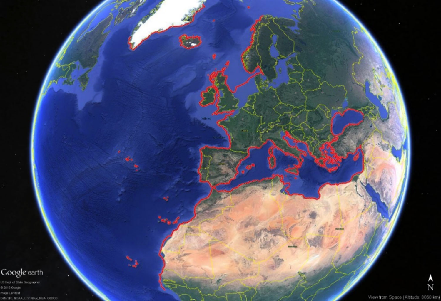
Europe and several neighboring countries have coastlines on the North-East Atlantic, the Mediterranean, and connected Seas, i.e. the so-called NEAM region, which are highly exposed to tsunami risk for the presence of population that increasingly clusters along the coastline together with the presence of critical infrastructures. Following the tsunami on 26 December 2004, in which over 250,000 lives were lost around the Indian Ocean, the International Oceanographic Commission of UNESCO has received the mandate to coordinate the implementation of the Tsunami Early Warning System through the Intergovernmental Coordination Group for the Tsunami Early Warning and Mitigation System in the NEAM region.
The NEAM region is not new to tsunami catastrophes. It was hit in the past by tsunamis of various sizes, such as for example those generated by the Lisbon, 1755, Messina, 1908, and Zemmouri, 2003, earthquakes. As of today, however, a region-wide SPTHA has never been performed in a systematic and homogenous way in the NEAM region, and this weakens any risk-mitigation action (lack of awareness, prioritization of coastal planning measures, risk reduction for critical infrastructures, NEAMTWS last mile and evacuation plans). Funded by the European Commission under the auspices of the Directorate General of the European Civil Protection and Humanitarian Aid Operations (DG-ECHO), the general objective of TSUMAPS-NEAM is to fill this gap (Figure 1) and pave the way for subsequent local SPTHA and risk mitigation.

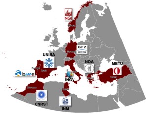
TSUMAPS-NEAM partnership includes nine geophysical institutions from nine different countries spread all over Europe and neighboring regions (Figure 2). It received formal expressions of interest by a number of end-users, including IOC-UNESCO, several NEAMTWS Tsunami Service Providers and organizations from further neighboring countries. TSUMAPS-NEAM also seeks triggering common and cross-border tsunami risk management strategies at European level, in clear synergy with the NEAMTWS operations. A term of comparison for such an effort is being provided by the broader-scale results of the UN-ISDR GAR15, and its updates (Davies et al., 2017).
To these ends, TSUMAPS-NEAM has undertaken a cascade of four consecutive actions:
- Perform state-of-the-art, standardized, updatable, SPTHA, with full uncertainty treatment;
- Review the overall process with international experts in a formalized and transparent framework;
- Produce a publicly and freely accessible SPTHA database, with interactive map and hazard curve displays;
- Disseminate results, along with awareness raising and capacity building activities, to relevant end users and stakeholders.
To ensure these actions bring forth real products, TSUMAPS-NEAM builds upon previous European Union projects, such as ASTARTE, STRESTand SHARE, and looks attentively at cross-fertilization with other international initiatives such as the Global Tsunami Model and the Global Earthquake Model.
Tsunami science in general, and particularly SPTHA, is an inherently multidisciplinary task. For example, TSUMAPS-NEAM uses a variety of geological/geophysical data, and benchmarked state-of-the-art tsunami numerical modeling tools (Tsunami-HySEA; Macías et al., 2017) running on high-performance computational infrastructures. Some of the main scientific / technical efforts are:
- The statistical treatment of potential seismic sources, combining all the available information (seismicity, moment tensors, tectonics), and considering earthquakes occurring on major crustal faults and subduction interfaces (Selva et al., 2016);
- An intensive computational approach to tsunami generation and linear propagation across the sea up to an offshore fixed depth (Molinari et al., 2016);
- The use of well-established regional approximations for shoaling and inundation, and for tidal stages (ASTARTE Project Deliverable D8.39);
- The exploration of several alternatives for the basic input data and their parameters which produces a number of models that are treated through an ensemble uncertainty quantification (Selva et al., 2016).

EPOS plays a crucial role for the future of projects like TSUMAPS-NEAM. Firstly, because most of the wealth of data that we are using now are gaining permanent distribution through webservices within EPOS, and this will greatly facilitate their accessibility and usage. Secondly, because EPOS can host and guarantee the preservation of the TSUMAPS-NEAM’s SPTHA results. These are two indispensable ingredients to foster scientific research on fundamental tsunami science topics needed for future revisions and improvements of hazard assessment and for learning how to defend society from natural hazards. We see this as an unprecedented opportunity to leave the legacy of our project for the future generations of our community at large.
References
Davies G, Griffin J, Løvholt F, Glymsdal S, Harbitz C, Thio HK, Lorito S, Basili R, Selva J, Geist E, Baptista MA (2017). A global probabilistic tsunami hazard assessment from earthquake sources. From: Scourse, E. M., Chapman, N. A., Tappin, D. R. & Wallis, S. R. (eds) Tsunamis: Geology, Hazards and Risks. Geological Society, London, Special Publications, 456, https://doi.org/10.1144/SP456.5.
Macías, J., Castro, M.J., Ortega, S., Escalante C., González-Vida J. M. (2017) Performance Benchmarking of Tsunami-HySEA Model for NTHMP’s Inundation Mapping Activities. Pure Appl. Geophys.. doi:10.1007/s00024-017-1583-1
Molinari I, Tonini R, Lorito S, Piatanesi A, Romano F, Melini D, Hoechner A, Gonzàlez Vida JM, Maciás J, Castro MJ, de la Asunción M (2016). Fast evaluation of tsunami scenarios: uncertainty assessment for a Mediterranean Sea database, Nat. Hazards Earth Syst. Sci., 16, 2593-2602, doi:10.5194/nhess16-2593-2016.
Selva J., Tonini R., Molinari I., Tiberti M.M., Romano F., Grezio A., Melini D., Piatanesi A., Basili R., Lorito S. (2016). Quantification of source uncertainties in Seismic Probabilistic Tsunami Hazard Analysis (SPTHA). Geophys. J. Int., 205, 1780-1803, doi:10.1093/gji/ggw107.
| TSUMAPS-NEAM, “Probabilistic TSUnami Hazard MAPS for the NEAM Region” is a project funded by the European Union Humanitarian Aid and Civil Protection, DG-ECHO (Grant Agreement No. ECHO/SUB/2015/718568/PREV26) coordinated by INGV, Italy. |
